Keywords
Satellite image analysis
Urban heat island
Micro urban heat island
How to Cite
Abstract
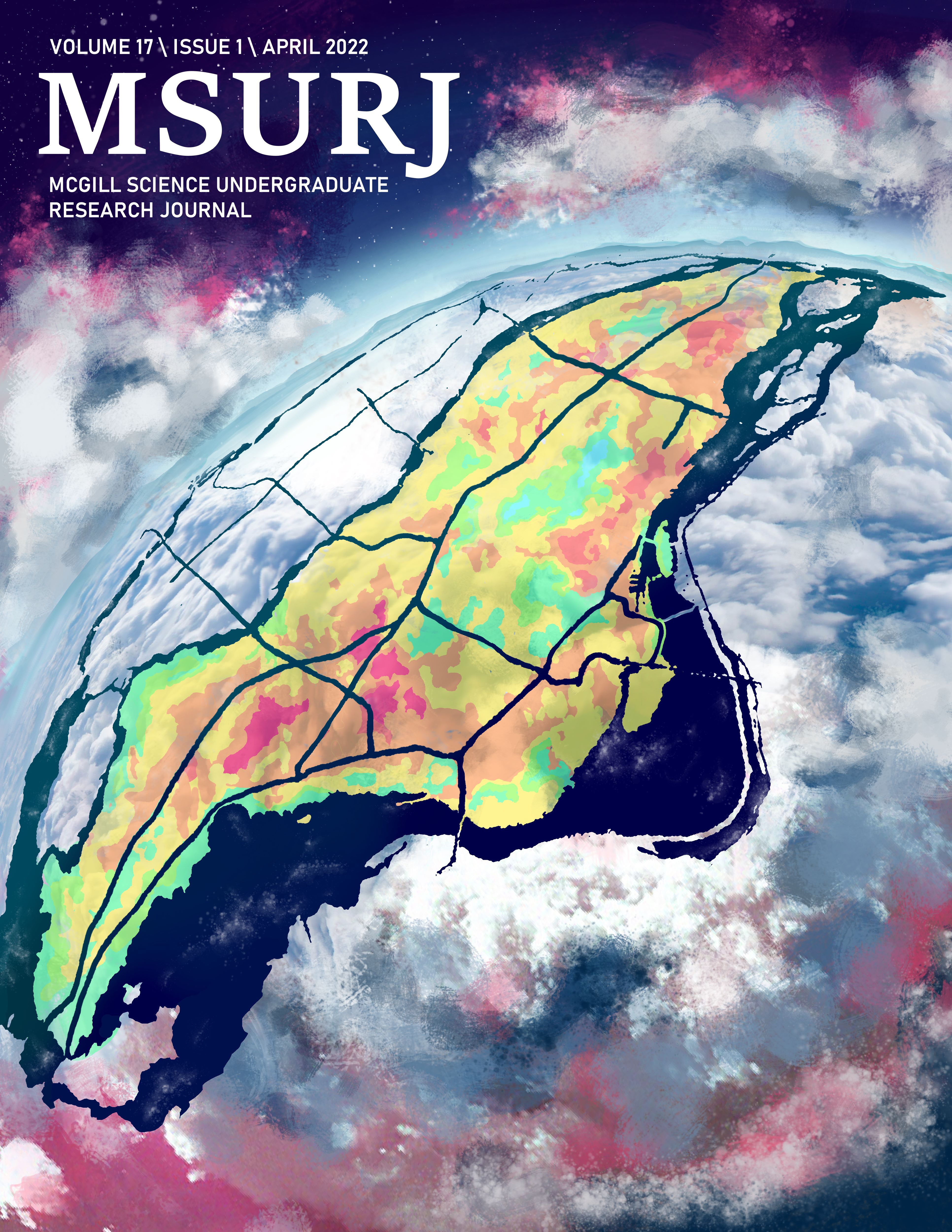
Heat within a city is not evenly distributed, giving rise to regions of relatively warm and cold temperatures. Regions of very high heat are referred to as micro-urban heat islands (MUHIs) and can be severe enough to harm human health. Despite MUHIs being an important factor in urban health, they are extremely underresearched. In this study we mapped the locations of MUHIs on the island of Montréal and compared them with the locations of vegetation on three clear, sunny days: August 10th, 2021; July 6th, 2020; and June 20th, 2020 using Landsat 8 thermal images with 30 m resolution. We compared two criteria for MUHIs and quantified their composition based on unsupervised classification done on ENVI 5.6.1, and Normalized Difference Vegetation Index (NDVI) calculations. Our results show that MUHIs are mainly associated with the presence of asphalt and concrete, and the absence of dense vegetation. The presence of these materials is not, however, a strong predictor of the formation of MUHIs in themselves. Though variability in unsupervised classifications between images introduces uncertainty in MUHI composition, these results suggest that increasing dense vegetation coverage in Montréal could prevent MUHI development during the summer.